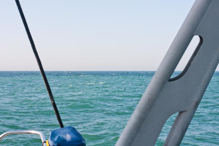
Here’s a little question to my Oceansearch partners: How can we measure what causes the sea to look like it does?
I have always been fascinated by the ever changing color of the sea. Just on this trip we have gone from the steely gray of the Batic, over the dilluted coffe look-alike of the Kiel Canal, to the green and murky North Sea. And just now, in the middle of the English Channel, we get this:

It was like a border crossing between the North Sea and the Atlantic. Sharp as a razors edge, in the middle of the water!
Of course I instantly thought about all our climate measuring equipment when I saw it. But I can’t easily make the equipment do two instantaneous measurements this close to each other. It is just sitting in the bilge and takes a sample every hour… In a situation like this it would be nice to have a “Take Sample Now” button. Plus I guess that it’s not only temperature/salinity/ph that changes between these two bodies of water, but also the particle content which I can’t measure at the moment (maybe it is not even interesting to the climate researchers?!).
Oh, and there was not a cloud in the sky at this particular moment, so the water color change is not an effect caused by a cloud. You get that effect to sometimes. And the depth was constant at about 31 meters as we went “across the border”.